


NEW DELHI : Union Minister of State (Independent Charge) Science & Technology, Dr. Jitendra Singh today said that a success story like “SVAMITVA” (Survey Village and Mapping with Improvised Technology in Village Areas) scheme has made the citizen master of his destiny, ending decades of dependence on Revenue officers and Patwaris.
The programme, he noted, has emerged as a global model of citizen-centric governance, enabling self-mapping of land by citizens themselves.
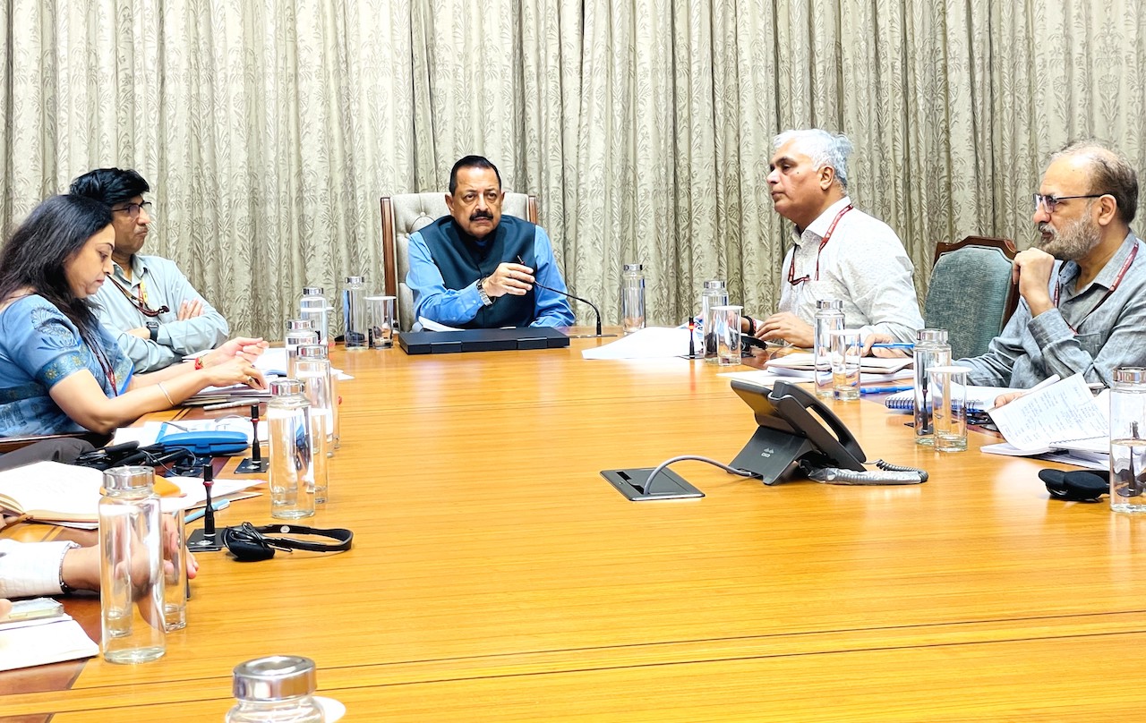
Chairing a high-level review meeting of the “Survey of India” at the Parliament House, Dr. Jitendra Singh hailed the National Geospatial Policy 2022 as a game-changer that has democratized geo-spatial data, enabling wider accessibility and utility across government and public sectors. He pointed out that, in collaboration with the Registrar General of India, the harmonization of boundaries has been completed—marking a milestone in the transformation of the Survey of India in recent years.
Dr. Jitendra Singh emphasized that the Survey of India’s technical expertise underpins several flagship schemes, including the SVAMITVA scheme, AMRUT Mission, Smart Cities, Digital Twin Mission and NAKSHA Scheme. He outlined plans to integrate Artificial Intelligence (AI) and Machine Learning for technology upgrades, create synergies with other science and government departments, and ensure they can fully utilize the department’s world-class facilities.
Highlighting technological advancements, Dr. Jitendra Singh cited the development of high-accuracy Digital Elevation Models (DEMs), a shift from being map producers to becoming geo-spatial enablers for multiple sectors of the economy. He praised the department’s proactive engagement with ministries, as well as the establishment of Continuously Operating Reference Stations (CORS) and the creation of a Geodetic Asset Register at the state, district, and taluka levels. These registers, to be made available to Tehsildars, will significantly ease citizen-centric service delivery.
The Minister directed the department to organize a national workshop with all ministries, departments, and states to enhance awareness about the vast capabilities of the Survey of India. He lauded the National Geodetic Reference Framework (NGRF), noting that 478 CORS are already operational with the collaboration of other departments. Recalling Prime Minister Narendra Modi’s facilitation of bilateral MoUs with Russia and Nigeria in the field of geo-spatial data and surveying, Dr. Singh revealed that six more such international collaborations are under process.
The meeting was attended by Secretary, Department of Science & Technology, Dr. Abhay Karandikar; Surveyor General of India, Shri Hitesh Kumar S. Makwana; and senior officials from the Department of Science & Technology and the Survey of India.
Union Minister of State (Independent Charge) Science & Technology, Dr. Jitendra Singh, today chaired a high-level review meeting of the Survey of India at the Parliament House. He underlined that the National Geospatial Policy 2022 has been a game-changer in democratizing geo-spatial data, enabling wider accessibility and utility across government and public sectors. He noted that, in collaboration with the Registrar General of India, harmonization of boundaries has been successfully carried out—marking a significant transformation in the functioning of the Survey of India over recent years.
Dr. Jitendra Singh emphasized that the Survey of India’s technical expertise underpins several of the nation’s flagship development programmes, including the Swamitva Mission, AMRUT Mission, Smart Cities, Digital Twin Mission, and Naksha Scheme. He announced that the department will increasingly leverage Artificial Intelligence (AI) and Machine Learning for technology upgradation, with a focus on creating synergies across science departments and other government entities so they can utilize the world-class facilities offered by the Survey of India.
Highlighting key technological strides, Dr. Jitendra Singh cited the development of high-accuracy Digital Elevation Models (DEMs), marking a shift from being mere map producers to becoming geo-spatial enablers for diverse sectors of the economy. He praised the proactive engagement of the department with various ministries, as well as the establishment of Continuously Operating Reference Stations (CORS) and the creation of a Geodetic Asset Register at state, district, and taluka levels to support citizen-centric services. These registers will be made accessible to Tehsildars for ease of administration and service delivery.
The Minister also laid out a plan for 5–10 cm high-resolution topographical surveying and mapping of urban and rural areas, and 50–100 cm for forests and wastelands, to be completed by the year 2030.
The Minister directed the department to convene a workshop with all central ministries, departments, and states to spread greater awareness about geo-spatial capabilities. He also lauded the National Geodetic Reference Framework (NGRF), noting that 478 CORS have already been made operational in collaboration with other departments. Recalling Prime Minister Narendra Modi’s facilitation of bilateral MoUs with Russia and Nigeria in the field of geo-spatial data and surveying, Dr. Singh informed that six more such international collaborations are currently in process.
The meeting was attended by Secretary, Department of Science & Technology, Dr. Abhay Karandikar, Surveyor General of India Hitesh Kumar S. Makwana, and senior officials from the Department of Science & Technology and Survey of India.
