


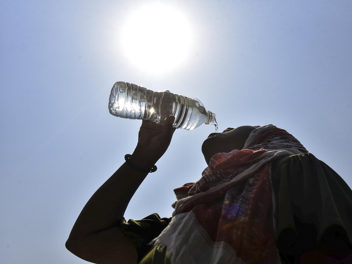
Climate scientists are warning that the planet could soon enter a powerful El Niño phase, potentially one of the strongest in recent decades. The event could significantly alter weather patterns worldwide and bring intense heat and unusual monsoon behaviour to India.
According to new forecasts from the European Centre for Medium-Range Weather Forecasts (ECMWF), a strong or even “super” El Niño may develop later this year. Climate models indicate that ocean and atmospheric signals could begin aligning by June, suggesting the phenomenon is starting to take shape.
What is El Niño?
El Niño is a natural climate cycle that occurs when sea surface temperatures in the central and eastern Pacific Ocean become significantly warmer than normal.
Under typical conditions, trade winds push warm surface waters toward Southeast Asia and Australia while cooler waters rise near South America. During an El Niño phase, these winds weaken, allowing warm waters to spread eastward across the Pacific.
This shift changes atmospheric circulation patterns. Rising warm air over the Pacific leads to heavy rainfall there, while regions around the Indian Ocean and parts of Africa may experience sinking air that suppresses rainfall and raises temperatures.
Scientists say current forecasts show an “extremely classic” El Niño atmospheric response forming, with strong rising air over the Pacific and descending air across the Indian Ocean region.
Possible Impact on India
For India, El Niño events have historically been linked to higher temperatures and weaker monsoon rainfall. The country’s Indian Summer Monsoon depends heavily on temperature differences between land and ocean.
During El Niño years, changes in atmospheric circulation can weaken the monsoon winds that carry moisture from the Arabian Sea and Bay of Bengal.
If the predicted strong El Niño develops, it could increase the likelihood of heatwaves across northern and central India and raise concerns about rainfall deficits during the monsoon season.
Global Effects
A powerful El Niño could also push global temperatures to record highs. Previous major events in 1997–98 and 2015–16 triggered extreme weather worldwide and temporarily boosted global warming levels.
Scientists note that the ocean and atmosphere may become fully coupled by June—meaning warming Pacific waters and atmospheric patterns will reinforce each other, a key step for a full El Niño event.
Beyond India, the developing climate pattern could reshape global weather systems. Stronger vertical wind shear in the Atlantic may suppress hurricanes, while the western Pacific could experience increased typhoon activity.
Although it is still early to determine the exact intensity of the event, scientists say the warning signs are becoming clearer that a powerful El Niño could soon influence weather patterns around the world.
