


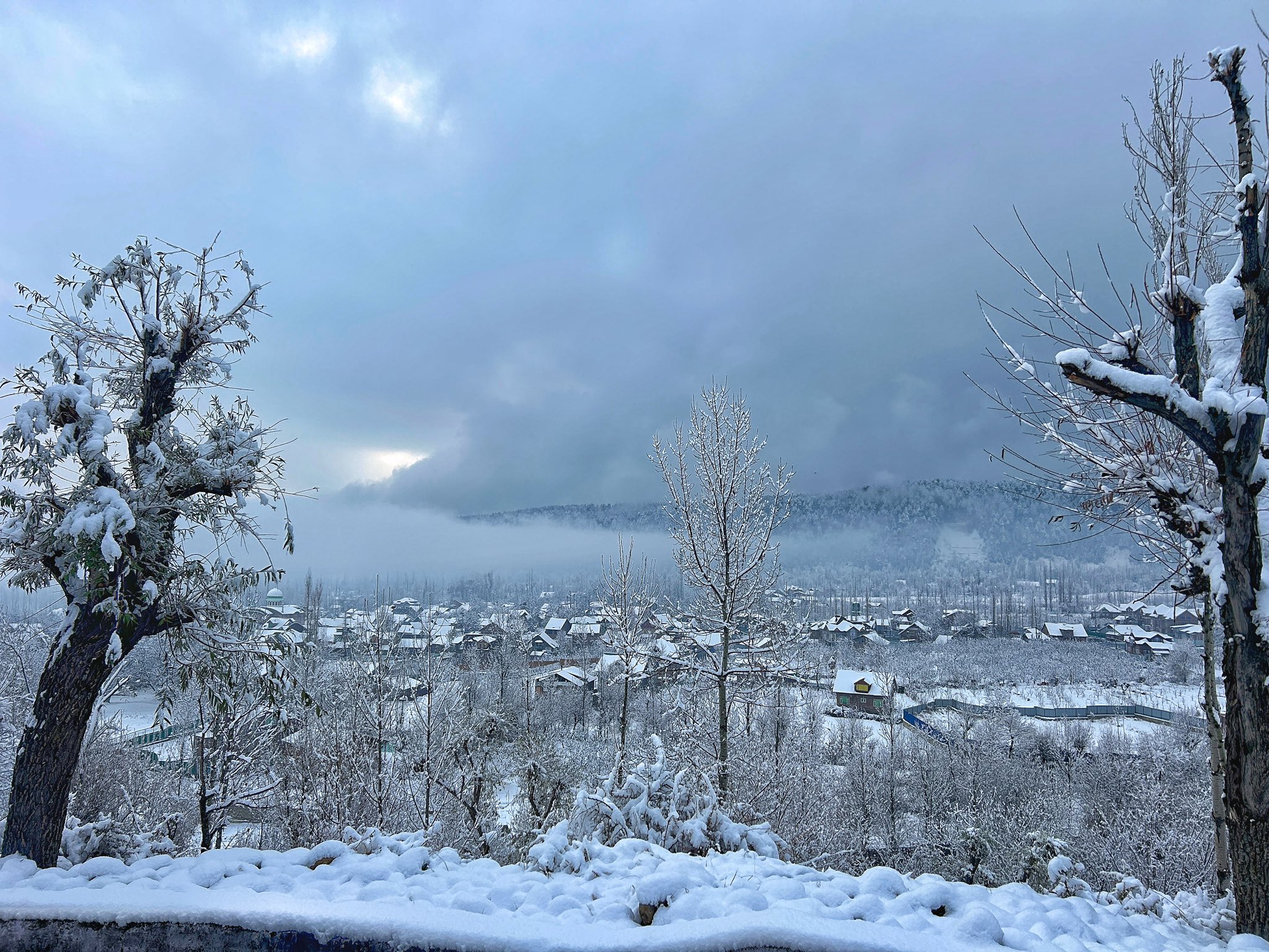
SRINAGAR: Several higher reaches of Kashmir Valley received fresh snowfall on Wednesday, while widespread rainfall lashed the plains, leading to a noticeable drop in temperatures, officials said.
Snowfall was reported from Pir Ki Gali along the Mughal Road and from Sonamarg, even as most mountainous areas in the Valley remained blanketed under snow. The higher reaches have been witnessing intermittent snowfall since Sunday.
Meanwhile, plains including Srinagar experienced continuous rainfall throughout the day, contributing to a dip in day temperatures across the region.
Srinagar recorded a maximum temperature of 14.9°C on Tuesday, which is over one degree below normal. Other weather stations across the Valley also reported below-normal temperatures.
The recent weather pattern has resulted in colder days and relatively warmer nights due to persistent cloud cover. The dip in daytime temperatures has also broken the recent trend of unusually warm conditions observed over the past few weeks.
According to the India Meteorological Department, erratic weather conditions are expected to continue till March 20, with intermittent light to moderate rain and snowfall likely at many places.
The department has also forecast moderate to heavy snowfall in some higher reaches of the Chenab Valley and south Kashmir.
Another wet spell is likely between March 26 and 28, bringing light rain or snow to scattered higher-altitude areas.
Additionally, gusty winds with speeds of 40–50 kmph and the possibility of thunderstorms and isolated hailstorms have been predicted till March 20.
The weather office has advised farmers to suspend agricultural activities during this period as a precautionary measure.
